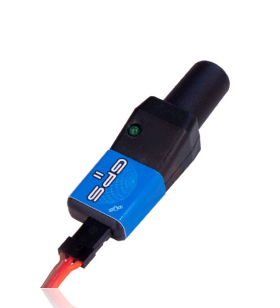
The GPS sensor was originally introduced to provide a means of
speed-dependent gain adjustment for our iGyro, but the GPS II is an
entirely new development, and can now be used with all current telemetry
systems.
Features
- Latest generation of GPS
- Helical aerial for panoramic reception (even inverted)
- Reception even under difficult conditions
- Fast response to speed changes
- GPS status indicator LED
- Accurate 3D speed
- Altimeter function
- Distance function
- Distance covered
- Geo co-ordinates
- Supports the following telemetry systems:
Futaba FASSTest
Multiplex M-Link
Jeti EX
Graupner/SJ HoTT
|
|
Technical Data
| Operating voltage
|
4.0V - 9.0V
|
| Current drain Power-on state
|
max. 60mA
|
| Supported RC systems
|
FASSTest, HoTT, Jeti EX, M-Link
|
| Dimensions
|
58 x 18 x 17 mm
|
| Weight
|
14g
|
| Temperature range
|
-30°C bis +75°C
|
|
|
|
Product description
|
The GPS sensor was originally introduced to provide a means of
speed-dependent gain adjustment for our iGyro, but the GPS II is an
entirely new development, and can now be used with all current telemetry
systems.
The core values are very impressive: the latest
generation of GPS receivers are extremely agile and capable of measuring
speed even when there are rapid changes in speed or direction. The
radial helical aerial provides outstanding reception in any flight
attitude, while the supplementary pre-amplifier improves reliability of
reception under difficult conditions.
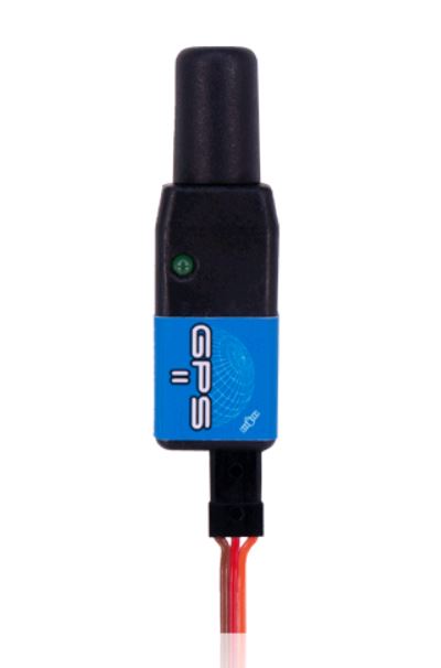
The GPS II module is a very
compact unit which virtually any model can accommodate. The integral
LED provides information about the receiver status.
|
|
It
is possible to set up alarms, addresses and other parameters using the
PowerBox USB interface and the free PowerBox Terminal program; the
actual facilities vary according to the telemetry system in use.
However, the USB interface function can also be carried out by the USB
adapters made by Jeti or Multiplex.
Software updates can be loaded using the USB adapter, so there is nothing to prevent future expansion.
The
following parameters are measured and calculated by the GPS II:
three-dimensional speed, altitude, distance, distance covered and geo
co-ordinates. Most radio control systems can record these data, and they
can then be reproduced on the computer as three-dimensional maps.
The
GPS II is Plug 'n Play: no additional devices are required. The
patch-lead for connecting the unit to the receiver or expander is
included in the set.
|
|
|
Operating Instructions (3520_GPS-ll_en.pdf, 457 Kb) [Λήψη]


